
In the digital age, agricultural land monitoring has become essential for effective resource management and promoting sustainability. COMPLEXIO is an advanced platform that combines GIS technology, satellite data and mobile applications to provide a complete agricultural land management solution. This article explores the functionality and benefits of using COMPLEXIO in agriculture.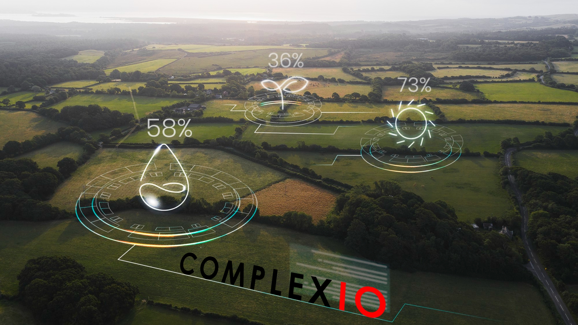
One of the main functions of COMPLEXIO is land mapping and inventory. This includes:
- Creating detailed maps: The platform enables the creation of accurate maps of agricultural land, urban areas and surface mining areas such as quarries and mines. These maps are essential for effective resource planning and management.
- Regular updating of cultivated areas: COMPLEXIO facilitates the continuous updating of data on cultivated areas and land use categories. Updates can be made through various methods, including manual input, satellite data, drone flights, and data from official sources.
Land use monitoring
COMPLEXIO plays a crucial role in monitoring agricultural land use:
- Tracking changes in land use: The platform enables the monitoring of changes in agricultural land use, helping to prevent illegal land conversion and ensuring regulatory compliance.
- Assessment of the impact of agricultural practices on the environment: COMPLEXIO helps assess the environmental impact of various agricultural practices, such as soil erosion and water pollution. This allows the implementation of more sustainable agricultural practices.
Operational advantages and sustainability
Using COMPLEXIO brings multiple advantages:
- Operational efficiency: The platform improves the management of agricultural resources, optimizing yields and reducing costs.
- Sustainability: Through continuous monitoring of environmental impact, COMPLEXIO promotes sustainable and responsible agricultural practices.
- Conformity: COMPLEXIO ensures compliance with land use regulations, reducing the risk of penalties and legal conflicts.
Compatibility with mobile phones
Another important aspect of COMPLEXIO is its compatibility with mobile devices, providing real-time access and mobility:
- Access to real-time data: Users can access GIS data instantly through dedicated mobile apps.
- Interactive view: The platform enables interactive viewing of maps and climate/agricultural data on mobile devices, facilitating informed decision making.
Reporting and feedback
COMPLEXIO encourages the active involvement of farmers and inspectors:
- Problem identification and reporting: Users can identify and report issues directly from the field, helping to update the database.
- Providing feedback in real time: User feedback is quickly integrated into the system, improving data accuracy and relevance.
Notifications and alerts
COMPLEXIO provides critical notifications and alerts:
- Notifications and alerts: Users receive notifications on mobile devices of weather events or critical changes in land use, enabling rapid reaction.
Additional benefits
- Mobility: COMPLEXIO provides access to information and land management from any location, increasing user flexibility.
- Quick reaction: The platform facilitates quick and informed decision-making in emergency situations, minimizing the negative impact on agriculture.
COMPLEXIO is an integrated and efficient solution for monitoring and managing agricultural land. By combining advanced technologies with mobile accessibility, the platform improves operational efficiency, promotes sustainability and ensures regulatory compliance. In a constantly changing world, COMPLEXIO proves to be an essential tool for modern agriculture.